Welcome
Current Promotion

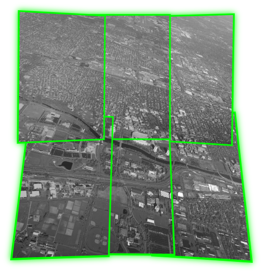
Mosaicking?
Solved!
What we do
J Gradient is a commercial research lab, focusing on the development of algorithms for aerial imagery analysis.
We provide scientific research services as well as offer developed aerial imagery analysis software. Our algorithms transform a flood of pixels to information you are looking for. Efficiently. Bring your imagery to us, and let us make state of the art research in computer vision work for you.
News
- 2015-07-03
We developed an algorithm for accurately and efficiently mosaicking multi-camera systems.
- 2015-02-02
We successfully completed work on a Video Processing and Tracking subcontract with Lawrence Livermore National Lab!
- 2014-04-22
Our paper on tracking vehicles in aerial imagery was accepted for publication in IEEE CVPR 2014! You can meet us there!